
Local travel guide
Valladolid Walking Route: What to See in 2, 4 or 6 Hours
Follow a realistic Valladolid walking route for two, four or six hours, connecting the main square, San Servacio, Calzada de los Frailes and Barrio de Sisal with heat, rain and timing adjustments.
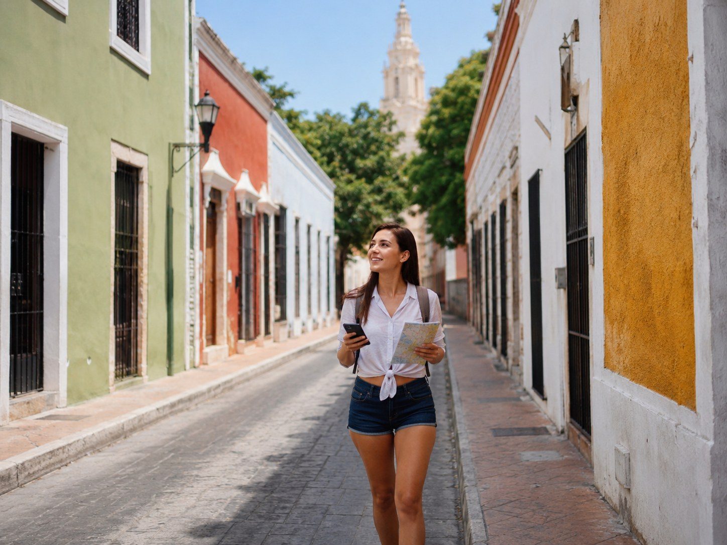
Before starting
Record:
- Current local time in Yucatán
- Heat and rain forecast
- Return bus, train or driver time
- Highest-priority stop
- Current operating status of any interior venue
- Meeting point for the group
Download the Valladolid Walking Map and save the return terminal pin.
Two-hour route
Use this route when arriving late, traveling with limited stamina or making Valladolid one stop in a larger regional day.
- Parque Principal Francisco Cantón Rosado
- Exterior of Iglesia de San Servacio
- One block in each direction for streetscape context
- Beginning of Calzada de los Frailes
- Return to the square
Suggested pacing:
- Main square orientation: 20 minutes
- Church exterior and nearby streets: 25 minutes
- Short calzada segment: 35 minutes
- Drink, restroom and return buffer: 40 minutes
Do not add a distant cenote to this route.
Four-hour route
The four-hour route is the strongest first-time walking plan.
- Main square and San Servacio
- Historic center streets
- Calzada de los Frailes
- Barrio de Sisal
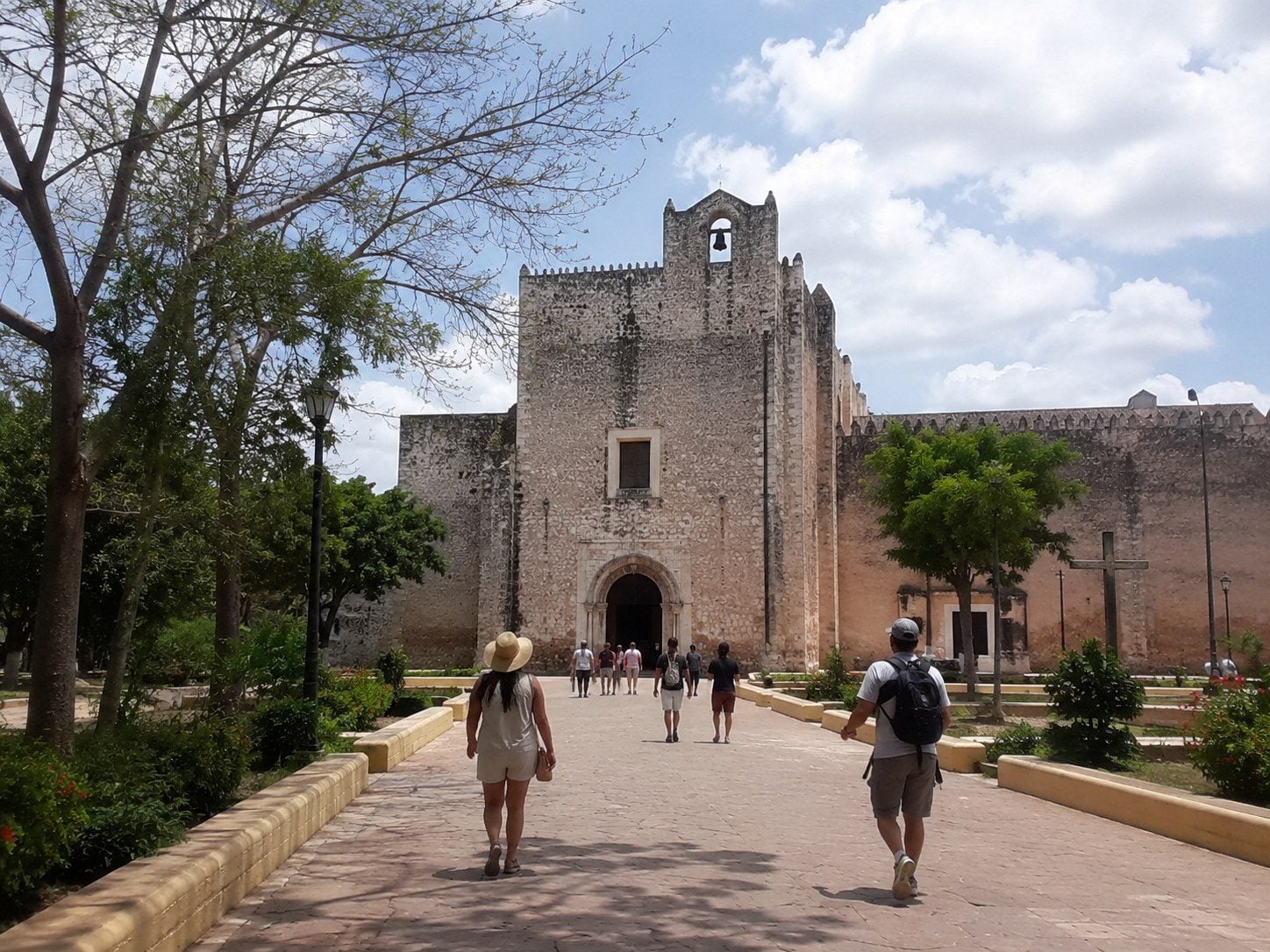
- Exterior or current visitor areas of San Bernardino
- Return with one café, shop or artisan stop
Allow enough time to stop. The calzada is not only a passage between attractions.
Six-hour route
Build the six-hour route around the four-hour core, then choose one addition:
- Regional lunch
- Museo de San Roque
- Municipal market
- Artisan center
- Verified Cenote Zací visit
- Qualified walking guide
- Longer photography session
Choose one major addition, not all of them.
Route logic
The route works because it follows a clear historical corridor from the center toward the former Sisal settlement.
Verified fact: Yucatán tourism information describes Calzada de los Frailes as a 16th-century connection.
Recommendation: Walk away from the center first, then decide at San Bernardino whether to continue, rest or return.
Local observation: Travelers often spend more time than expected photographing façades and browsing small shops. Build that into the schedule.
Main square
Use the main square for:
- Orientation
- Shade
- Group meeting
- Taxi pickup instructions
- Deciding whether an interior stop is worth the time
- Confirming the route back to the bus terminal
Do not leave valuables unattended while photographing.
Calzada de los Frailes
The calzada includes active businesses and private residences.
A respectful walk means:
- Do not pose in doorways without permission.
- Keep the path open.
- Avoid loud group behavior.
- Ask before photographing artisans.
- Buy directly when something genuinely interests you.
- Remember that painted walls are part of a neighborhood, not a studio backdrop.
Former Convent of San Bernardino
Current interior access can involve an admission procedure, museum areas or special schedules. The exterior and surrounding plaza can still provide architectural context when the interior is closed.
An evening projection or special presentation should be treated as a separate timed activity, not a guaranteed feature of every visit.
Optional center stops
Museo de San Roque
Use it for local history when current hours allow. Allow enough time to read rather than entering only for photographs.
Artisan center
Look for clearly identified local production and ask about materials, origin and care.
Municipal market
A market visit can show everyday food and commerce. Keep aisles clear, ask before photographing vendors and carry small pesos.
Cenote Zací
Only add the cenote after confirming current swimming status, water conditions, rules and closing time.
Heat-adjusted route
When heat becomes difficult:
- Shorten the calzada walk.
- Use shade at the square.
- Move the meal earlier.
- Choose an indoor museum.
- Skip the cenote if the group lacks time for changing and recovery.
The route should shrink before anyone becomes unwell.
Rain-adjusted route
Rain can make tile, stone and painted curbs slippery.
Use:
- Shoes with traction
- Compact rain protection
- Waterproof phone storage
- Covered café or museum break
- Extra crossing time
Do not shelter in private entrances without permission.
Google Maps
- Main square: https://www.google.com/maps/search/?api=1&query=Parque+Principal+Francisco+Canton+Valladolid
- San Servacio: https://www.google.com/maps/search/?api=1&query=Iglesia+de+San+Servacio+Valladolid
- Calzada: https://www.google.com/maps/search/?api=1&query=Calzada+de+los+Frailes+Valladolid
- San Bernardino: https://www.google.com/maps/search/?api=1&query=Convento+de+San+Bernardino+de+Siena+Valladolid
- Walking direction: https://www.google.com/maps/dir/Parque+Principal+Francisco+Canton+Valladolid/Convento+de+San+Bernardino+de+Siena+Valladolid/
Consumer maps may suggest routes that ignore sidewalk quality or temporary closures.
Accidental Gringo tips
- Walk outward first and shop on the return.
- Set a turn-back alarm.
- Save your terminal and hotel pins.
- Photograph wide street context, not only doors.
- Use the six-hour route only when the return time is flexible.
- Let the slowest traveler determine the pace.
Warnings
Narrow streets can carry cars, motorcycles, bicycles and delivery vehicles. Do not step backward into traffic while framing a photograph.
Respect religious services, private homes and restricted areas.
Common mistakes
- Adding a cenote to a two-hour visit.
- Walking to San Bernardino without preserving return time.
- Treating every colorful doorway as a public photo location.
Frequently asked questions
Can I walk Valladolid without a guide?
Yes. Use a reliable map, offline pins and a clear return time. A guide adds interpretation but is not required for navigation.
Is the route stroller-friendly?
Some sections may be manageable, but curbs and sidewalk conditions vary. A compact route around the square may be easier than the full calzada.
Which route is best for a first visit?
The four-hour center-to-Sisal route gives the clearest introduction without forcing too many extras.
Verification notes
Last reviewed: July 14, 2026
This article separates stable planning guidance from details that can change. Recheck the following official sources shortly before publication and again before travel:
- Yucatán official tourism — Valladolid Pueblo Mágico: https://yucatan.travel/en/culture/magic-town-of-valladolid/
- Valladolid municipal government: https://www.valladolid.gob.mx/
- Mexico Secretariat of Tourism — Valladolid, Yucatán: https://www.gob.mx/sectur/articulos/valladolid-yucatan
Needs Review before future publication updates: Museum, convent and Cenote Zací hours; evening presentations; street works; route accessibility; business status; market schedules; temporary closures.